Transform 911 Call Handling with Spatial Command & Control
A browser-based geospatial map display with real-time, actionable data for critical situational awareness
Faster, Safer Incident Response Mapping
Spatial Command & Control provides a shared, precise mapping solution with authoritative GIS data, third-party resources and powerful search tools, combining all the information needed to locate callers and dispatch services quickly, accurately and safely. Using modern Esri technology within a highly configurable display, Spatial Command & Control can also deliver heightened situational awareness across multiple jurisdictions.
- Locate caller and incident locations
- See available responding unit locations
- Find the quickest route
- Get route and unit recommendations
- Estimate arrival times
- Receive traffic updates
Sign up for a Demo
A Highly Configurable, User-Friendly Interface
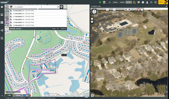
With powerful search functionality you can find addresses quickly and view suggested results
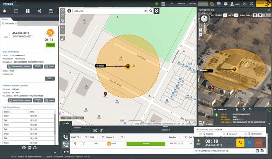
View the precise incoming call location and surrounding area before a call is even answered
Reduce Screen Overload
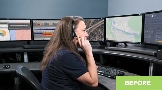
Multiple screens with various data sources can be overwhelming, especially for new hires in the PSAP
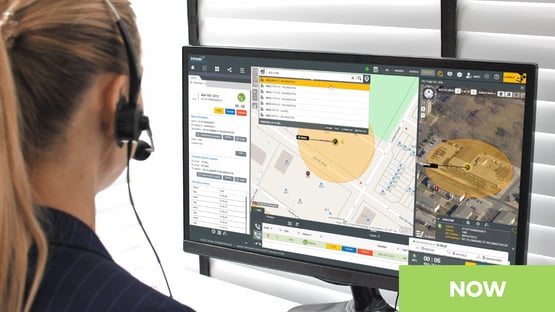
Spatial Command & Control consolidates data sources and call handling in a single, powerful map-based display
- Quickly and accurately obtain dispatchable locations
- Integrate workflows to reduce response times
- Increase safety and efficiency with advanced shared situational awareness


